
Do you have what it takes to be an #igniterockstar?

20 slides
15 seconds a slide
5 minutes on stage
Just you and the audience
20 x 15 = 5
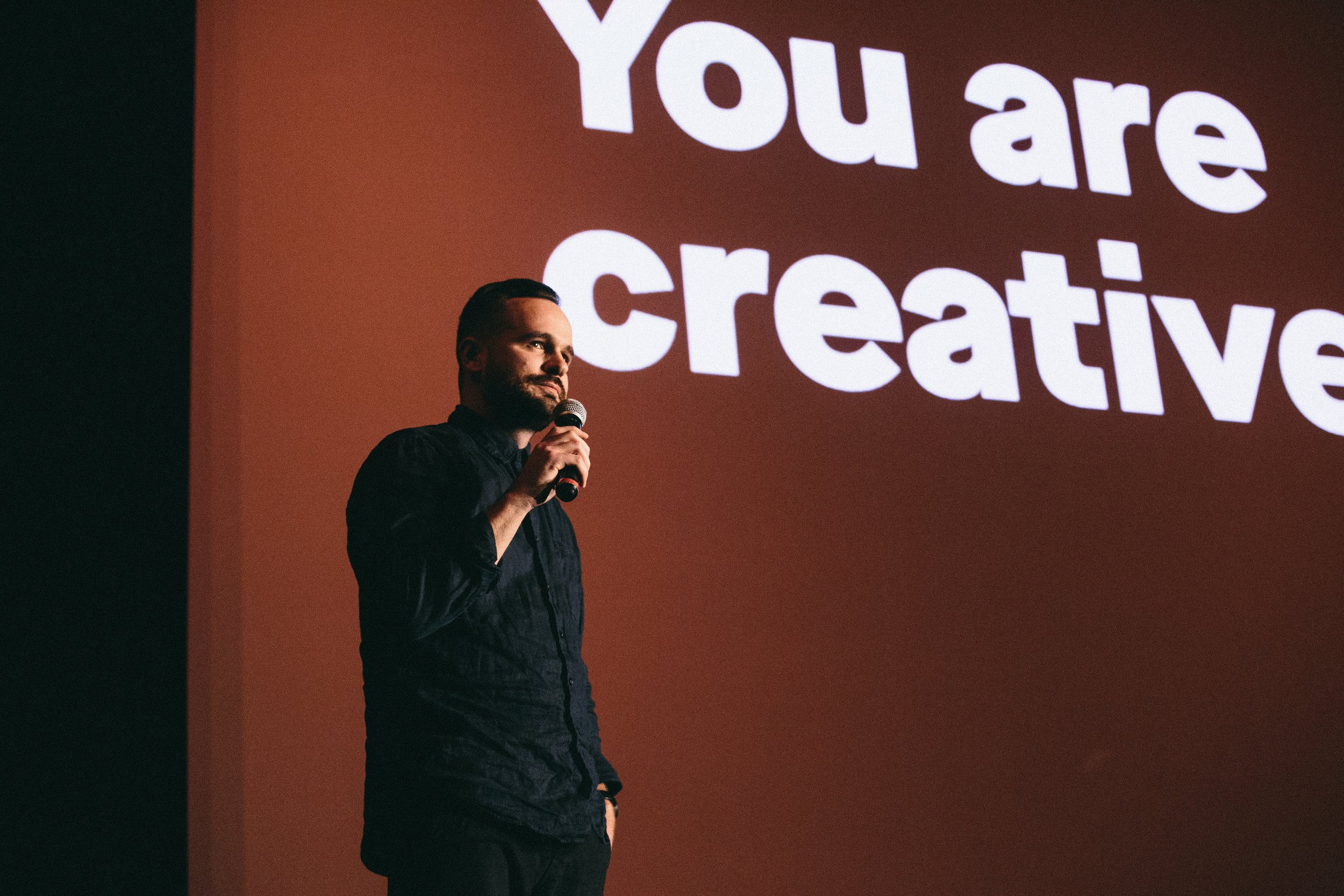


Level Up Your Leadership

Everything we do at Ignite is guided by one core mission:
ENABLING INSPIRED CONNECTION
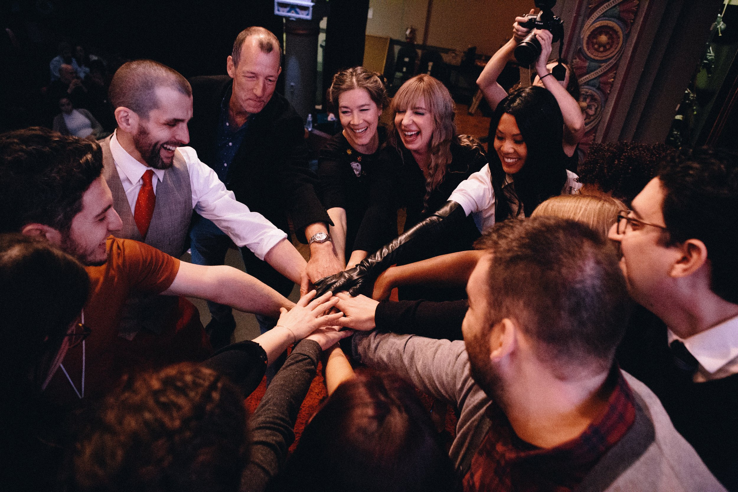
Through a network of regional leaders, Ignite hosts events across the globe that galvanize and delight audiences. We enable personal growth through the development of public speaking, leadership, and communication skills. And we strengthen communities by creating and upholding platforms for the sharing of ideas, passions, and knowledge.
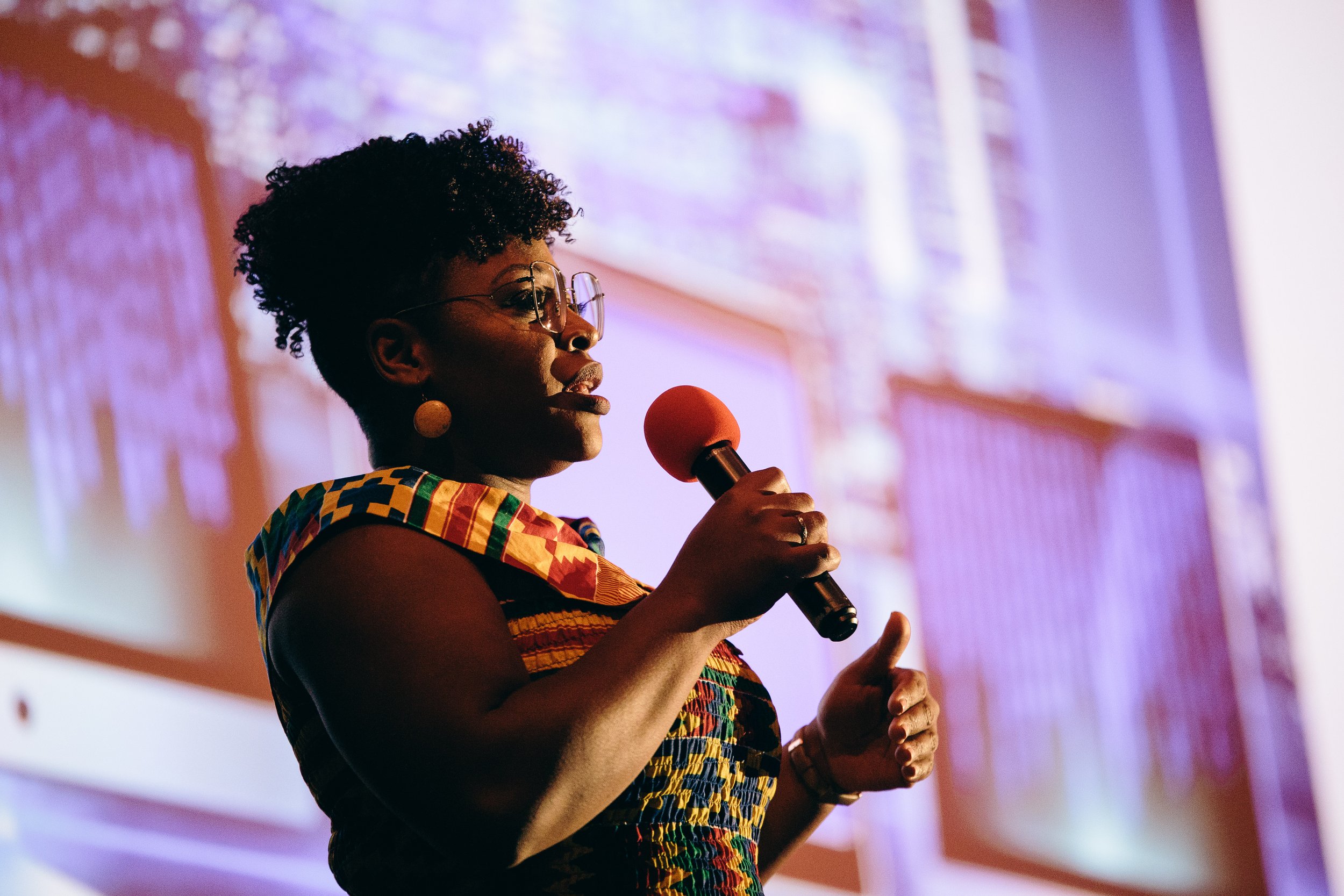
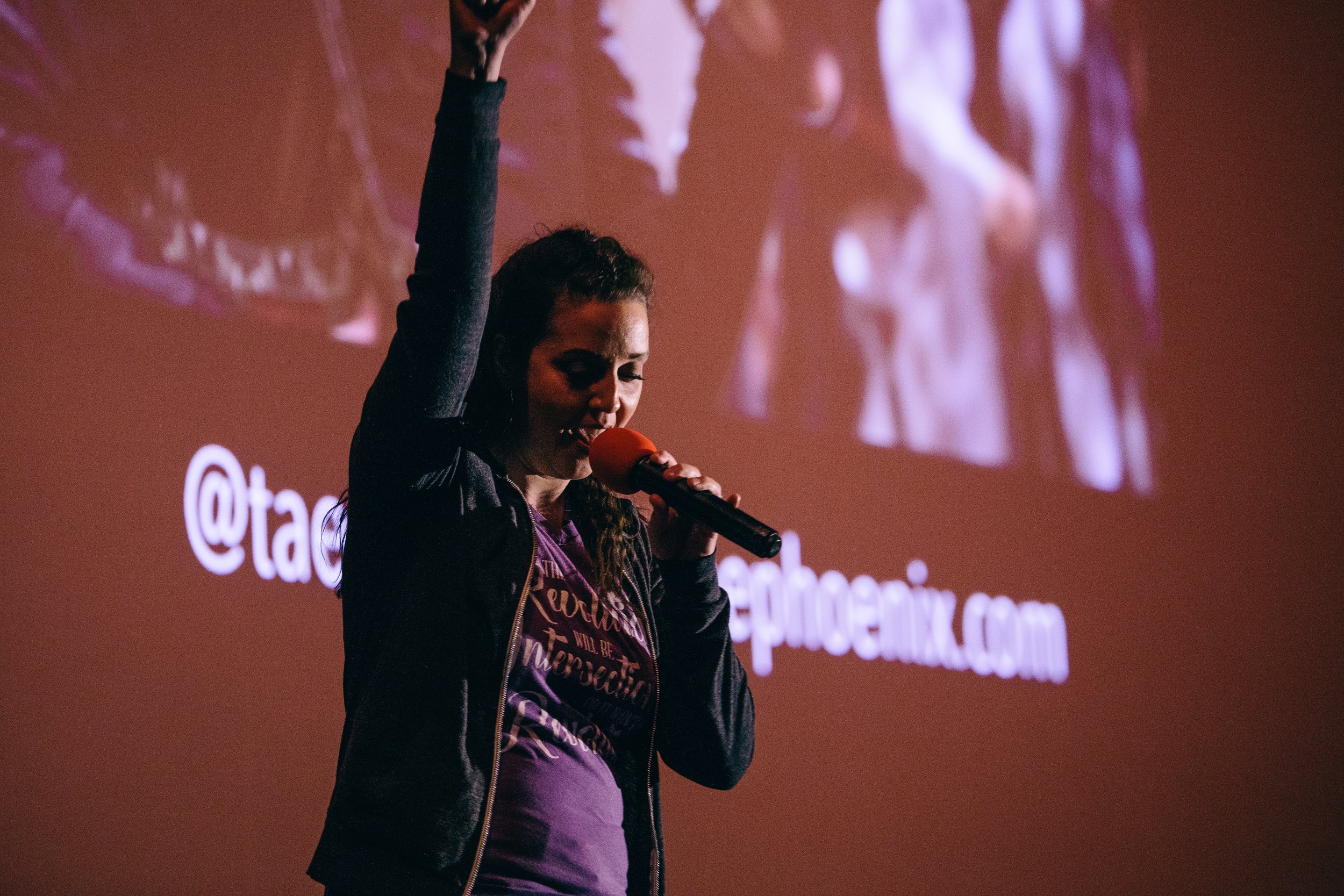
Your Voice MattersSpeak at an Ignite and join a worldwide community of thinkers, dreamers, leaders, and entrepreneurs.